
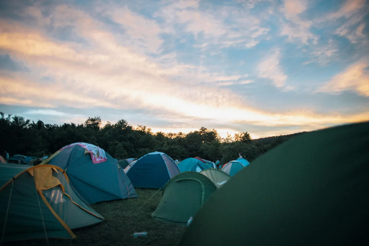

RoadStart: Camping Brăzești15.4 km535 m gain
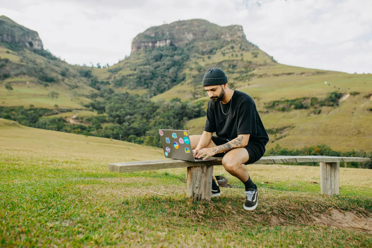
Outdoor cycling · Brăzești
~15.4 km loop near the campsite (18 May 2026), ~535 m climbing. GPX map on site, download for GPS/Wahoo.
Download GPX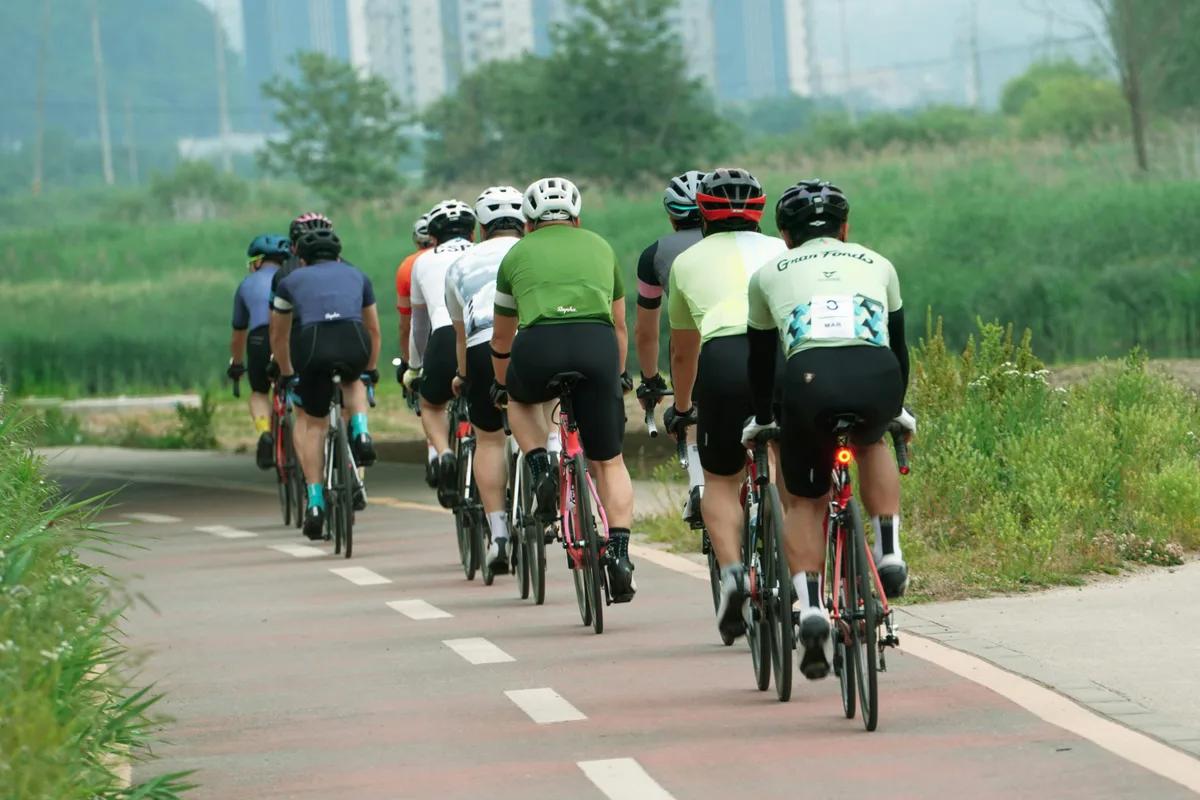
Apuseni · Bihor · homologated SGR
The Apuseni are increasingly popular for MTB, gravel, road cycling and hiking. Below you'll find official Super Randonnée (SGR) routes with embedded Strava maps, no account required to view. Difficulty ranges from accessible day rides to demanding weekend challenges for experienced cyclists.
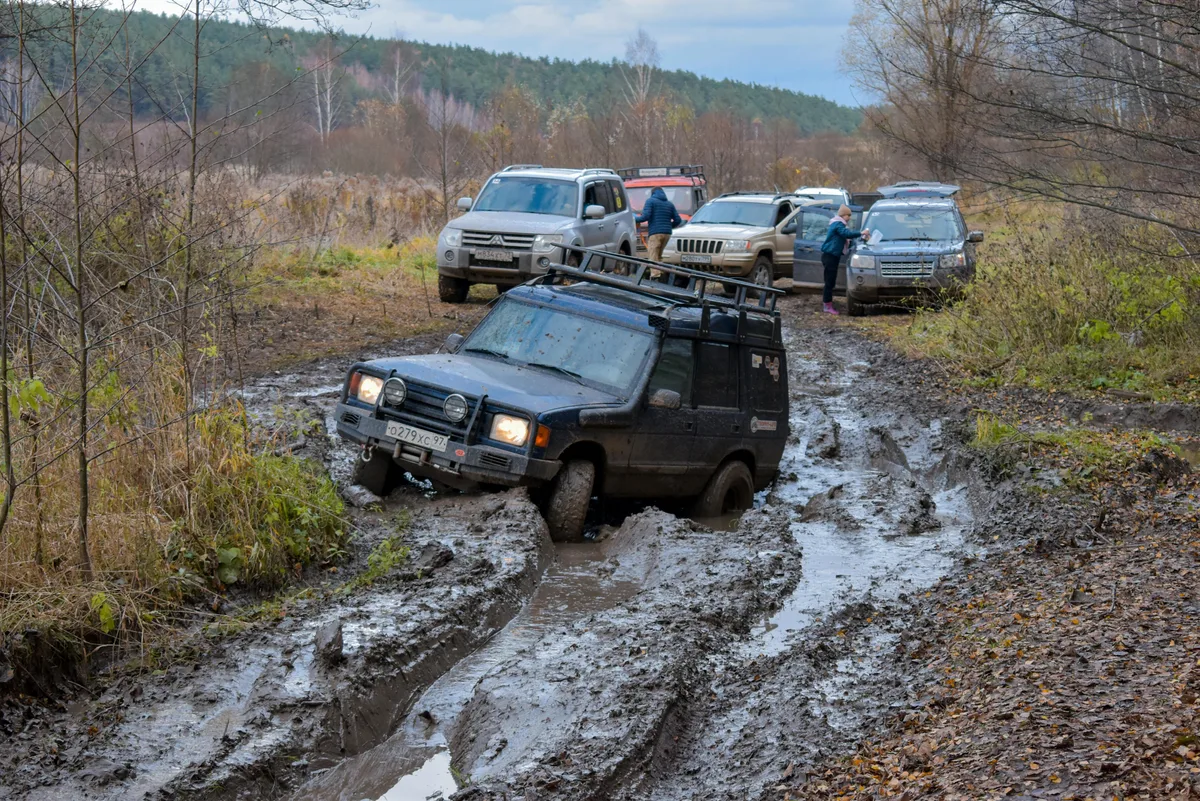
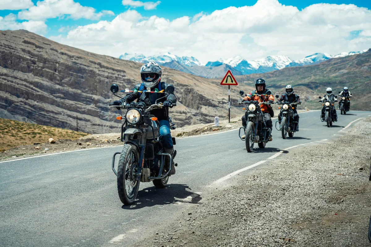
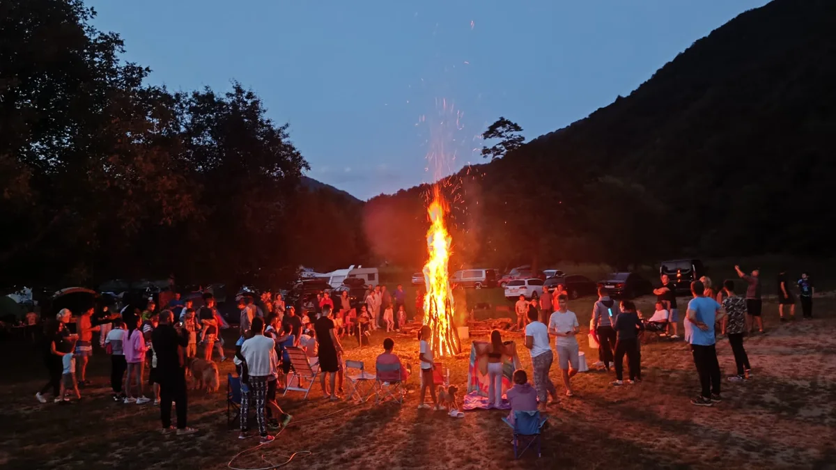
For 4x4, overlanding, moto and expeditions: camp is the launch point for Glavoi, Cetățile Ponorului and Padiș, plus the ideal start for Scărița-Belioara. Forest roads, ridge tracks, Drumul Munților, Vârtop and dozens of off-road variants.
Have a public route or GPX file? Send the link on WhatsApp and we can add it. For daily tips and local guides, see the Adventure HUB page.
Apuseni · Bihor · homologated SGR
4 official Super Randonnée routes (Randonneurs Romania) with embedded Strava maps, plus slots for short MTB/hiking when you publish them on Strava.
~15.4 km loop near the campsite (18 May 2026), ~535 m climbing. GPX map on site, download for GPS/Wahoo.
Download GPXHomologated Super Randonnée, ~150 km from Arieșeni via Padiș and Sudrigiu. Epic gravel / MTB.
Open on StravaSecond regional SGR, ~150 km from Padiș (~1 h from camp). Paved/gravel loop in the Bihor Mountains.
Open on StravaHomologated ~150 km from Aiud through Apuseni, mixed surfaces. ~1.5 h from Arieșeni.
Open on StravaTransalpina Super Randonnée, ~150 km, mostly paved alpine riding. Access from southern Apuseni.
Open on StravaStrava map coming soon, send us a public route link
Classic climb to Cucurbata / Bihor, on Bikemap/Wikiloc; few short public Strava routes. Send us GPX or a Strava link.
Open on StravaStrava map coming soon, send us a public route link
~8–9 km hiking in the reserve, ~40 min from camp. We will embed your public Strava route when ready.
Open on StravaStrava map coming soon, send us a public route link
Spectacular ~6.5 km (one way), red cross trail. Awaiting a Strava link from local guides.
Open on StravaStrava map coming soon, send us a public route link
Local roads on DN75 and forest tracks, great for families or warm-up. Create a Strava route and we will add it.
Open on StravaStrava map coming soon, send us a public route link
The sunken village, ~1–1.5 h drive. Popular for photos & hiking; Strava link coming soon.
Open on StravaHave a public route (or GPX)? Send the strava.com/routes/… link on WhatsApp, we add it within 24h.
GoPro trail clips, video gallery coming soon.